Share:
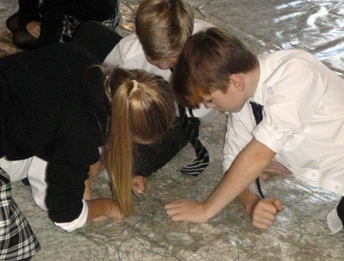
On Wednesday 28th September the nation’s largest map of England and Wales arrived in the Great Hall and has been a brilliant learning tool for Bloxham School students, visting prep schools and local community groups.
Students used the map during their geography lessons to put the skills they have been learning in the classroom into use. Workshops included learning about Ordnance Survey map symbols and using the scale on the map to work out distances.’
As well as providing map explorer workshops for local schools, we were very pleased to welcome Bloxham Boys’ Brigade, Beavers and Brownies into the Great Hall to use the map for their own geographical games and activities.